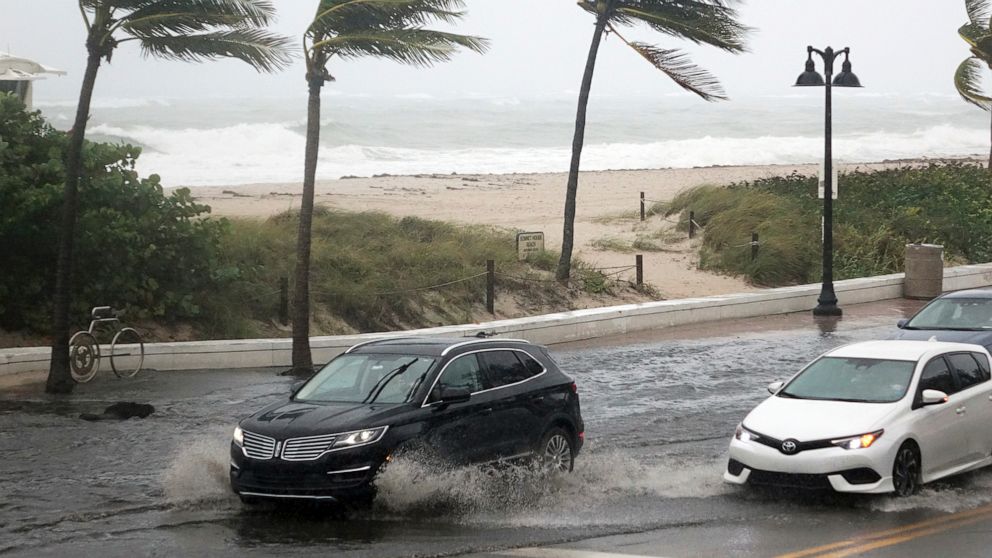
Tropical Storm Eta was heading toward the Florida Keys on Sunday night after making landfall in central Cuba overnight with 65 mph winds. Eta could get stronger, and forecasters warned it could be a hurricane by the time it reaches the Florida Keys.
The National Hurricane Center said tropical storm force winds, storm surge and flash flooding spread over South Florida and the Keys as of Sunday evening. The National Hurricane Center issued storm surge and hurricane warnings for part of the Florida Keys, and a hurricane watch continues for part of the Florida peninsula as well. However, there is also a chance Eta could slow down or even stall near or just west of the Florida Keys.
Forecasters also continued to warily watch Eta’s forecast path, which takes the tropical storm into the Gulf by Monday and turns it northward. Eta should reach the eastern Gulf of Mexico by late Monday into Tuesday.
Eta could bring 6 to 12 inches of rain to parts of Central and South Florida, with isolated areas getting up to 18 inches. Tornados will also be possible in the Keys and southern Florida.


